

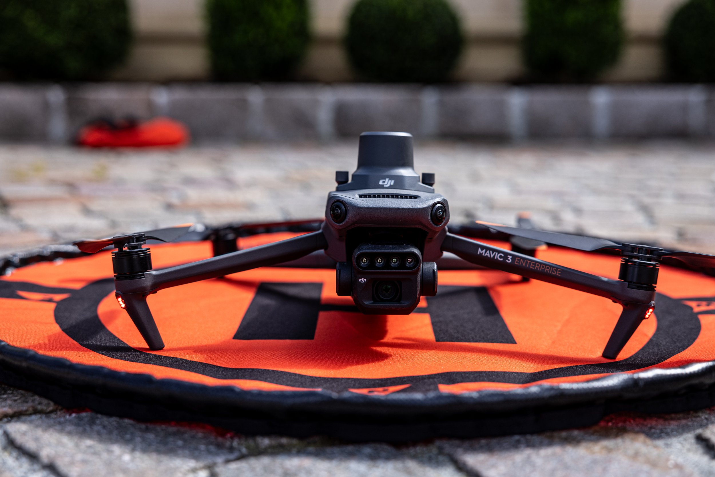
Aerial Imaging &Technologies
Your Partner in the Drone Industry.
Cupertino California
Trusted by our partners


Industries
-

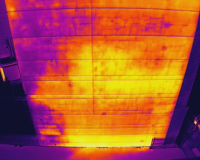
Commercial Properties and Buildings
We provide advanced drone services for commercial properties and buildings, including high-resolution roof inspections, facade assessments, thermal imaging, and progress monitoring. Our technology ensures safer, faster, and more accurate data collection, helping property managers, owners, and developers maintain their assets efficiently while reducing costs and risks.
-

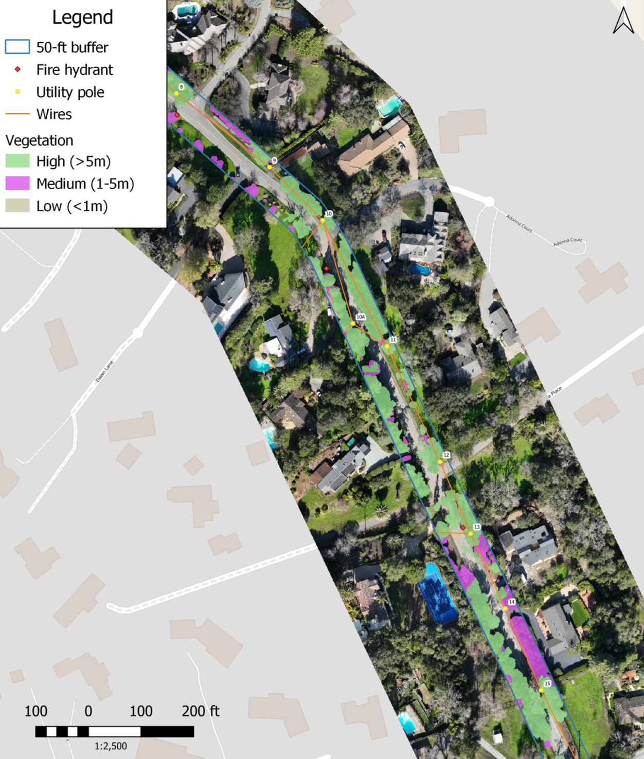
Vegetation Management and Wildfire Risk reduction
Our drone services provide detailed vegetation analysis by extracting volumetric data, vegetation health metrics, species classification, invasive species identification, ladder fuel assessment, and tracking vegetation growth or reduction over time. These insights enable precise decision-making to improve land management and wildfire risk reduction strategies.
-

Energy and Infrastructure
We provide advanced drone services for the energy and infrastructure sectors, including aerial inspections of power lines, solar panels, wind turbines, pipelines, and bridges. Using high-resolution imagery, thermal imaging, and 3D mapping, we deliver precise data to detect faults, assess structural integrity, and optimize maintenance planning—ensuring safety, efficiency, and cost-effectiveness.
-

Environmental Monitoring
Our drone services support environmental monitoring through aerial surveys, vegetation health analysis, water quality assessments, wildlife tracking, and habitat mapping. By providing accurate, real-time data, we help organizations monitor ecosystems, detect environmental changes, and implement sustainable management practices with precision and efficiency.
-
Surveying and Construction
We offer cutting-edge drone services for surveying and construction projects, including topographic mapping, site progress monitoring, volumetric calculations, 3D modeling, and infrastructure inspections. Our technology delivers precise, real-time data, streamlining project planning, tracking, and management while reducing costs and improving safety on-site.
-

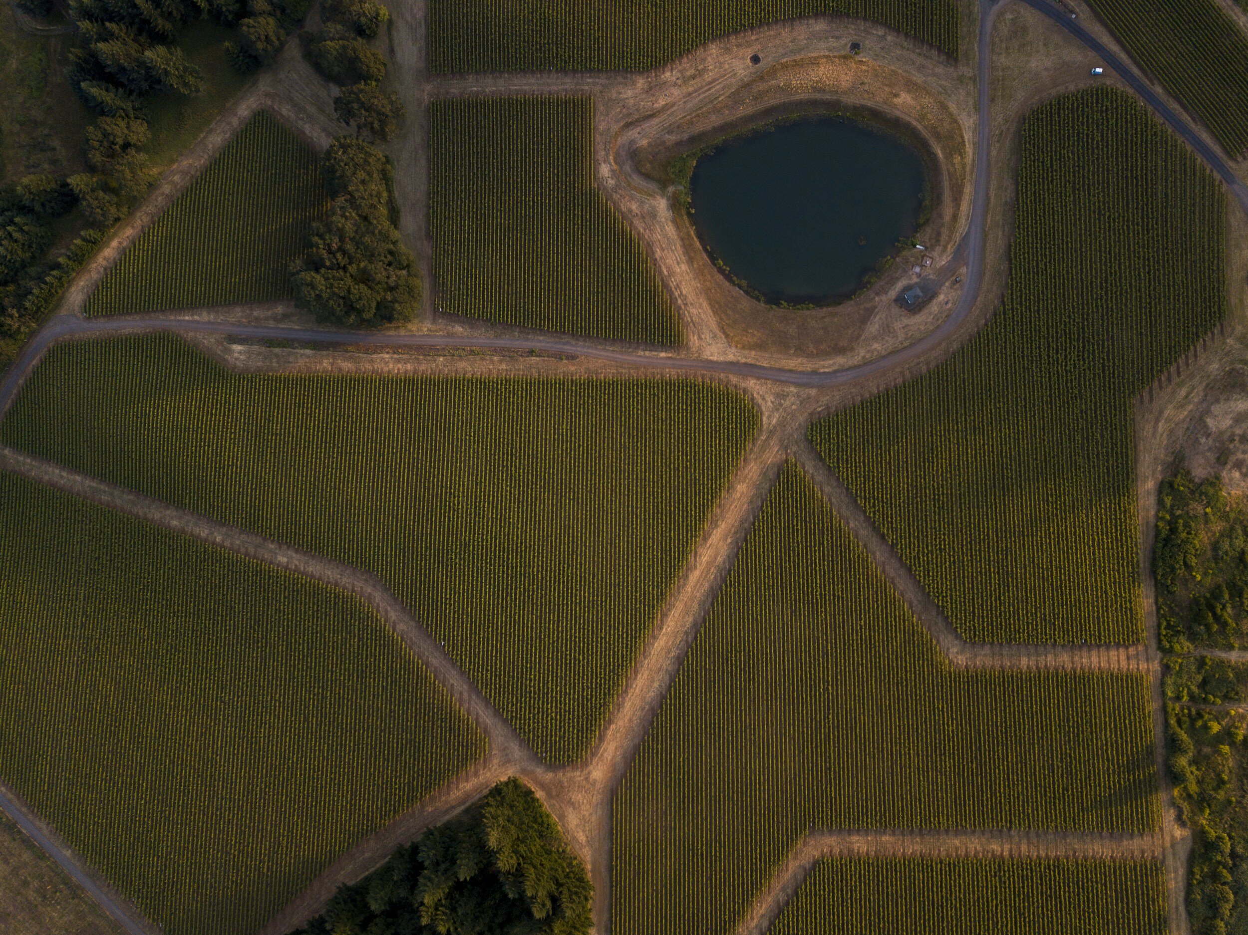
Large Scale Aerial Mapping and Analysis
We specialize in large-scale aerial mapping and analysis, delivering high-resolution orthomosaic maps, 3D terrain models, elevation data, and land-use insights. Our advanced drone technology ensures accurate, efficient data collection for agriculture, urban planning, environmental studies, and infrastructure development, enabling informed decision-making on a grand scale.

7
Years in Business
+1,347
Drone Missions
+3000
Mission Hours
+35,000
Acres Flown
Service Area

CONTACT

Recent Topics


